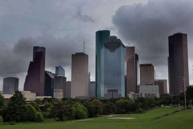
Tropical moisture will brush parts of Southeast Texas again on Saturday, offering a slight chance of much-needed rain. However, next week will be sunny and dry as a minor cooldown settles in.
Weekend Outlook: There’s a 20% chance of rain showers on Saturday, mainly for areas south of I-10. By Sunday, the rain chances disappear. Expect highs in the low-to-mid 90s both days, with lows in the low 70s. Sunday’s record high of 94°F could be broken.
Next Cool Front: A front is expected on Monday, but ironically, it will push temperatures to near-record highs that afternoon. This front will pass through dry, but will bring a more noticeable drop in temperatures. Highs next week will be in the 80s, with lows in the low 60s, and some areas may even see upper 50s in the mornings.
Tropical Update: We’re tracking a high-potential development in the Gulf, with the system expected to head toward Florida by Tuesday or Wednesday. Additionally, the deep tropics and Atlantic remain active, with storms Kirk and Leslie currently over open waters. For the latest tropical updates, visit our daily Tropical Update page.


