Monday Weather Outlook
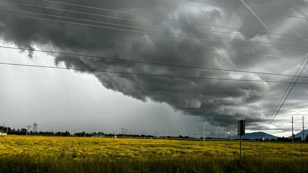
A passing shower or two is possible Monday morning, but the focus shifts to Monday afternoon as a strong Pacific cold front moves through Southeast Texas. This system could bring heavy rainfall, gusty winds, and the potential for severe storms. Temperatures will start off muggy, with lows in the low-to-mid 70s, and climb into the low-to-mid 80s before the front arrives. Along the front, expect strong thunderstorms, and while the main threats are gusty winds and heavy rain, an isolated severe storm cannot be ruled out. The front is expected to clear the area from west to east by sunset, with clearing skies and improving conditions heading into Tuesday.
Morning Tips
It’ll be a good idea to keep an umbrella handy for any spotty showers early in the day, but the morning should generally be drier compared to the afternoon. Expect a cloudy and damp start with muggy conditions.
Timing and Impacts
The most significant storms will likely develop along the front Monday afternoon, with the Houston area expected to see the strongest activity around 3 p.m. These storms could cause slowdowns during the afternoon and early evening commute, especially north and east of Houston. If you’re traveling to Dallas for Monday Night Football between the Texans and Cowboys, keep the stormy conditions in mind.
Midweek Cool Down
A bigger cooldown is on the way, but you’ll have to wait until midweek to really feel it. While the humidity will start dropping behind Monday’s front, a second push of cooler air arrives Wednesday, bringing true fall weather. Expect lows in the 40s and highs in the 60s for the second half of the week—a refreshing change, even if it’s not quite as chilly as earlier forecasts suggested.
Tropics Update
Tropical Depression Sara has moved ashore in Central America and is gradually weakening. However, its remnants could drift into the Gulf of Mexico and bring heavy showers to Florida by midweek. For the latest updates on tropical activity, visit our **Tropical Update page**.
Stay weather-aware Monday, and prepare for a wetter afternoon as the front moves through!


