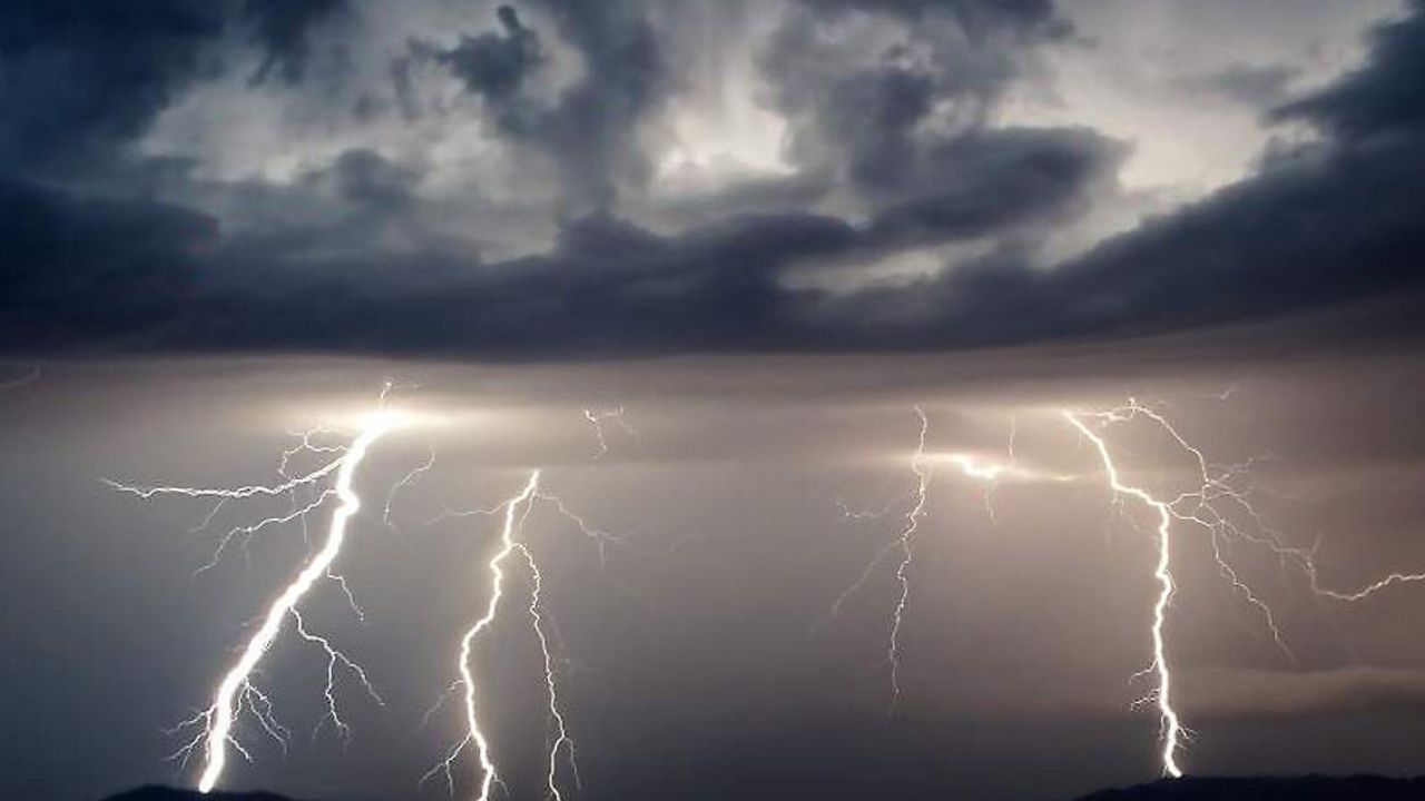
Weather Update: Showers and Storms Through Tuesday with a Cold Front Arrival on Election Day.
Expect rounds of showers and thunderstorms continuing through Tuesday as a cold front approaches on Election Day. Strong to severe storms are possible late Monday night and early Tuesday morning.
Sunday Night into Monday Morning:
A few quick-moving showers will continue drifting in from the Gulf Sunday night and into Monday morning. Otherwise, skies will stay mostly cloudy and breezy, with temperatures remaining in the 70s. The gusty southeast winds will stick around on Monday, pushing temperatures back up to the mid-80s. An additional chance for isolated showers and storms may arise Monday afternoon before the main system moves in.
Coastal Flooding Advisory:
A Coastal Flood Advisory remains in effect along the Southeast Texas coast until 6 a.m. Tuesday. Stronger southeast winds could contribute to coastal and street flooding, especially around high tide.
Main Threat for Severe Weather:
While an isolated storm Monday afternoon could bring heavy rain and gusty winds, the primary concern for severe weather begins with the cold front arriving late Monday night into early Tuesday morning. This front may reach College Station around 10 p.m. Monday, then push southward into Southeast Texas overnight. Expect strong winds, heavy rain, thunder, and lightning. These storms could impact Houston between 5 and 7 a.m. Tuesday, potentially affecting travel plans for Election Day. Scattered thunderstorms will linger on Tuesday, but conditions should start to dry out later in the afternoon and evening.
Election Day Forecast:
Be prepared for a wet and stormy start, especially in the morning hours. Some storms may be strong, with damaging winds, heavy rainfall, thunder, and lightning. Street flooding and heavy downpours may impact your commute to the polls. Conditions are expected to improve gradually by the afternoon and evening, with temperatures starting in the mid-to-upper 60s and only reaching the mid-70s by the afternoon.
Cooler Temperatures Ahead:
Although Tuesday will be a bit cooler, the humidity may offset the temperature drop. Expect morning temperatures on Wednesday in the low 60s, but a return to onshore flow will bring highs back into the 80s over the next 10 days.
Tropical Update:
Potential Storm Eighteen has formed in the southern Caribbean and is expected to strengthen, possibly becoming Tropical Storm Rafael by Monday morning. It may track northward and could enter the Gulf of Mexico as a hurricane by Wednesday evening. Its exact path and intensity remain uncertain, but the entire Gulf Coast should stay updated. No hurricane on record has made landfall in Texas during November. For more, visit our daily Tropical Update page.


