We haven’t quite hit that “fall feeling” yet in Southeast Texas, but that should change later this week when the next cold front moves in.
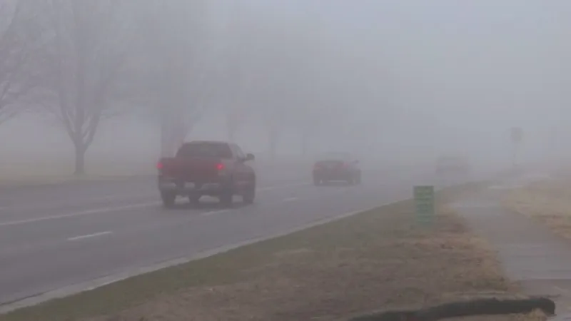
On Sunday, clouds lingered a bit longer than expected, which, combined with some humidity, could lead to areas of patchy fog developing overnight and potentially impacting the Monday morning commute. This will mostly affect areas north of Houston and the Hill Country, with any fog likely lifting by mid-morning. Monday’s temperatures will start in the mid-60s, climbing into the low 80s, with more sunshine anticipated by the afternoon for Veterans Day.
When can we expect a real cool-down?
We’ll get a hint of more seasonal temperatures on Tuesday morning as temperatures dip into the upper 50s. Later in the week, however, the next cold front arrives, likely Wednesday night. This front is expected to be a Pacific front, bringing lower humidity for a day or two but without much cooling effect. We may see one morning in the upper 50s and an afternoon in the 70s after it arrives.
Will there be any rain or storms with Wednesday’s front?
Currently, there’s a 20% chance of showers on Wednesday with this front. Some moisture from the Gulf could make its way toward the Southeast Texas coast, potentially bringing a slight chance of rain on Tuesday as well. Overall, this front is expected to be fairly dry, and rain chances remain low over the next 7 days.
What’s happening in the tropics?
Rafael has weakened into a post-tropical system over the Gulf of Mexico. While it lingers, no impacts are expected for Southeast Texas aside from elevated surf and increased rip currents. Some moisture from Rafael could approach the Gulf Coast by Tuesday, possibly bringing light showers ahead of the midweek front. For a complete look at the tropics, check out our daily Tropical Update page.


