The researchers from Japan proposed an AI-based model that creates detailed maps of soil stability, allowing the identification of safe areas for construction and reducing the risks of liquefaction.
The suggested model can help in creating safer cities in earthquake-prone regions.
The system eventually creates detailed 3D maps of soil layers by using artificial neural networks and assembled learning, which helps city planners identify vulnerable areas and make sensible decisions about improving infrastructure.
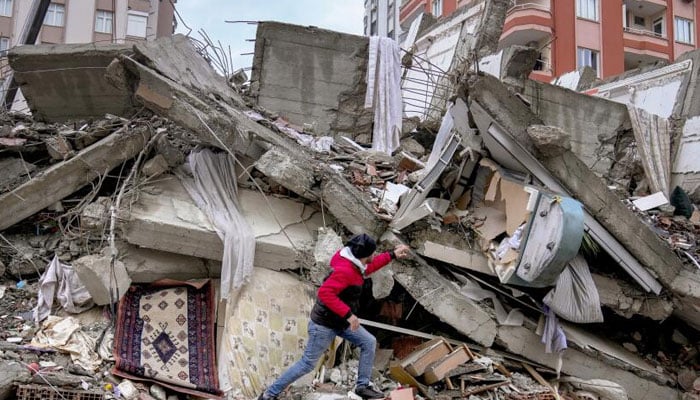
Ultimately, when an earthquake hits, the ground becomes liquid, a phenomenon called liquefaction, which causes widespread devastation all around the world.
Professor Shinya Inazumi and Yuxin Cong from Shibaura Institute of Technology have created a groundbreaking solution to this issue using artificial intelligence.
The research published in Smart Cities disclosed the transformation in machine learning and urban planning in areas at risk of earthquakes.
As per Professor Inazumi, “This study establishes a high-precision prediction method for unknown points and areas, demonstrating the significant potential of machine learning in geotechnical engineering.”
The system completely holds great potential for damage as it evaluates specific locations, by providing coverage of entire urban areas, and also allows identification of vulnerable zones prior to disaster.
Notably, the researchers also planned to increase their model’s accuracy by adding more ground conditions and developing versions for coastal and non-coastal areas, particularly considering the liquefaction risk of groundwater.


